Sunday, October 28, 2018

St. Croix Falls

52 miles done ~ 2228 miles to go. 

Mindy Creek and along the river. (5 miles)


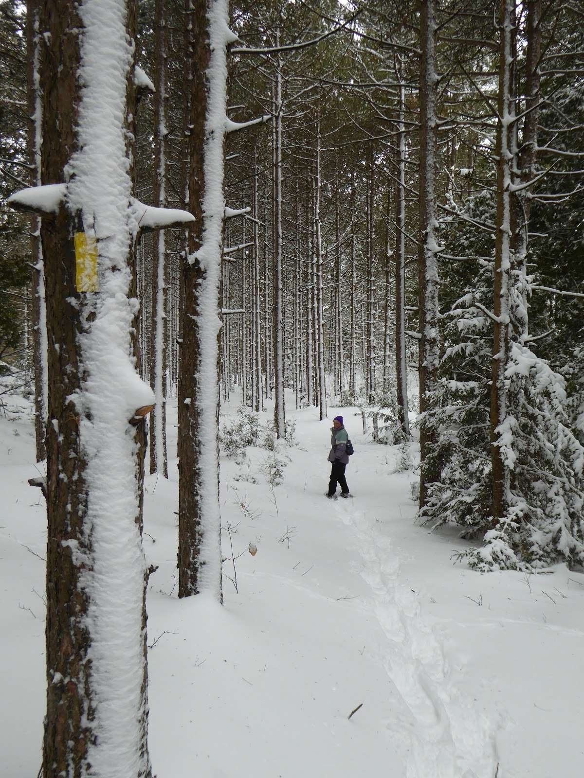
I left this small section to do along the St. Croix River and through the Wert Family Nature Preserve, due to snow on Easter Sunday. However, it ended  up being three segments because of deep and fast flowing creeks.

My friend joined me for the short hike that started on River Road and headed south along the St. Croix river. There were quite a few wet spots that could use stepping stones or boardwalk. This fall has had a lot of rain. But the weather wasn't too cold so it was quite pleasant until we hit one creek that was not going to be easy crossing. But since we were going out and back we decided to go back and then approach it from the other direction. No problem.


So we drove to the Lion's Park and ate our sandwiches looking out over the river. After the short break we decided to go across Hwy 87 and walk the part of the Mindy Creek segment I didn't finish. It was not as wet and very little understory, so you could see the woods quite well. But a bit hillier. I enjoyed the oak leaf patterns underfoot. Each one is beautifully shaped, but layer the thin red oak leaves on the rounded white oak leaves and it is quite visually stunning.

A few slippery spots, but the crossing of Mindy Creek was well done by the Mobile Skills Crew in 2005. Some nice overlooks from up top.

After we reached the point I had stopped on Easter we headed back to the park and then went north along the river. There is a wide crushed stone path for much of the trail. It made for fast, dry walking. Then after the picnic area it  goes back to narrow trail, with some hills. Again we reached another deep swift flowing creek difficult to cross. We believe there was just one hill in between to complete the section. There were nice wooden crossings on the wide flat trail, so these are needed further along.

It was a great walk.
From picnic spot.


Stats for the trip: Miles to get to trail: 152

Costs: $10.57 for gas.

Sunday, October 7, 2018

Wayward Beaver Section

47 miles done ~ 2233 miles to go. 

Wayward Beaver Trail. (3.5 miles)


I was helping register hikers for the Chippewa Moraine Chapters Parade of Fall Colors hike in the morning at the Ice Age Center. (10/6/18) It was a bit chilly and cloudy, but 35 folks went out on the trail.

When registration was done, my friend returned from her 5 mile walk and we headed west to the end of the trail and back.

Fall colors were beginning. We commented on how the lime greens in fall were quite different from the lime green of the new leaves in spring. As are the reds and oranges.


We sat near a lake to eat our lunches and admire the reflections. However, the chill sets in quickly.

I related a poem I heard the week before by Japanese Buddhist monk/poet Ryokan.

Maple leaf
Falling down
Showing front
Showing back

So simple, yet it depicts fall and that one moment quite beautifully.

There were beautiful red mushrooms all along the trail. Along with many others, hidden in holes and hanging on tree bark.

It was a lovely walk and as we left for home the sun finally peeked out from behind the clouds.


Saturday, May 19, 2018

Workday-Hike

43.5 miles done ~ 2236.5 miles to go. 

Deerfly Trail. (1.5 miles)


The Chippewa Moraine Chapter had a workday today and I thought we'd cover more of the trail. However, we cleared more logging road in order for a truck to bring in the lumber for the new bridge.

So it was only about a mile and a half out and back on actual trail. We did get to walk on part of the new trail. It was a pleasant day, since the temperature dropped, but the ticks are out. 

Sunday, May 13, 2018

Happy Mother's Day

42 miles done ~ 2238 miles to go. 

Road Connect. (4 miles)


I was already visiting in Merrill so I headed a short distance north to do a short section of road walk near the Underdown section. 

The colors of new leaves were intense - lime green, red, orange, olive. The fiddle heads were coming up and starting to unfurl. Birds were singing and I got to enjoy a view of a quiet lake. 

I wish all days could be so pleasant.


Stats for the trip: Extra miles to get to trail: 34.3

Costs: $2.84 for gas, $7.80 for lunch.

Saturday, April 28, 2018

Gandy Dancer Trail

38 miles done ~ 2242 miles to go. 

Gandy Dancer State Trail. (9 miles)


The Gandy Dancer State Trail is an old railroad bed, thus it is fairly flat. Not much to see today; not even people. Just one loan figure in the distance ahead of me. 

Without the threat of dogs, I could jog a little more than last week on the country roads.

Near the end of the way out there were a couple of ponds where the spring peepers, chorus frogs and birds were all singing at once, quite a din


Maybe you can hear it too in this short video clip. 


Stats for the trip: Roundtrip miles to get to trail: 143


Costs: $8.82 for gas

Saturday, April 21, 2018

First Road Connection

29 miles done ~ 2251 miles to go. 

River Road to Gandy Dancer State Trail. (9 miles)


Today I had the intention to walk 5 minutes, jog 5 minutes, walk 5 minutes for the 9 miles. Easy peasy, right?

As I started my first jog, a golden retriever came running and barking out into the road, so I stopped jogging. Second try, I heard another dog barking behind me. I wonder if I need to carry walking sticks for protection?

As I turned onto 160th Avenue, I started counting all the empty bottles of Sutter Home wine. I was up to 35, someone is drinking in their car. Luckily they were the small bottles. Lots of other beer cans and vodka bottles along this stretch. I wonder how long it would take if I picked up all the trash along the way?

I walked most of the way, because I found out it was all up hill from the St. Croix River. There go the jogging plans out the window.

Three horse farms along 160th Avenue. Some looked better than others. And then I saw a bald eagle soaring overhead, but my calm was disrupted by two small yippy dogs running out after me. 

The Gandy Dancer trail was still snow covered so I'm glad I chose the road. Even though the road back was all down hill, I walked most of the way because my left hip started hurting. Boy do I feel old. I even pre-medicated.

Overall it was lovely to be out in the sun and 50 degree weather.


Stats for the trip: Roundtrip miles to get to trail: 150

Costs: $9.25 for gas

Monday, April 16, 2018

After Blizzard Evelyn

20 miles done ~ 2260 miles to go. 

Viceroy Road to Lake Michigan. (2 miles)


I travelled to Sheboygan on Friday for the Ice Age Trail Annual Meeting, chased by a rain storm and blizzard.

So my friend Cheryl has been hosting me for the last three days. After being trapped for Saturday and Sunday, we decided to scout the roads. Some of the roads on my route home are still snow covered and slippery. So I had an unplanned day off, felt like I was playing hookie.

Since we were going out, we decided to break my rule from the last post-don't hike in snow. We grabbed two pairs of snowshoes and hiked a mile out and back.

We were feeling pretty good. We did find a frozen finch, which was very sad. It must have gotten confused in all of this snow and couldn't find food.

We took this selfie, but realized backing up in snowshoes does not work well. Thus the body print in the snow. We laughed very hard.


Our hike ended at a bench at Lake Michigan. The brown water, with the turquoise horizon and grey purple sky, set off the white snow. It was beautiful. We enjoyed a snack and were amazed at how we didn't feel cold. After the snack we looked over the edge of the dunes; the trail ended at an abrupt 6 foot dropoff to the beach below. Something will need to be done about this.

We headed back and we realized our snowshoes felt 20 pounds heavier than on the way out. And we realized we hadn't pre-medicated so we made sure to take some ibuprofen. We contemplated when a pleasant hike becomes a death march. Probably when the talking and laughing stops.


It was a beautiful winter hike. Oh, but if you note the date it is April 16th. When will spring arrive?